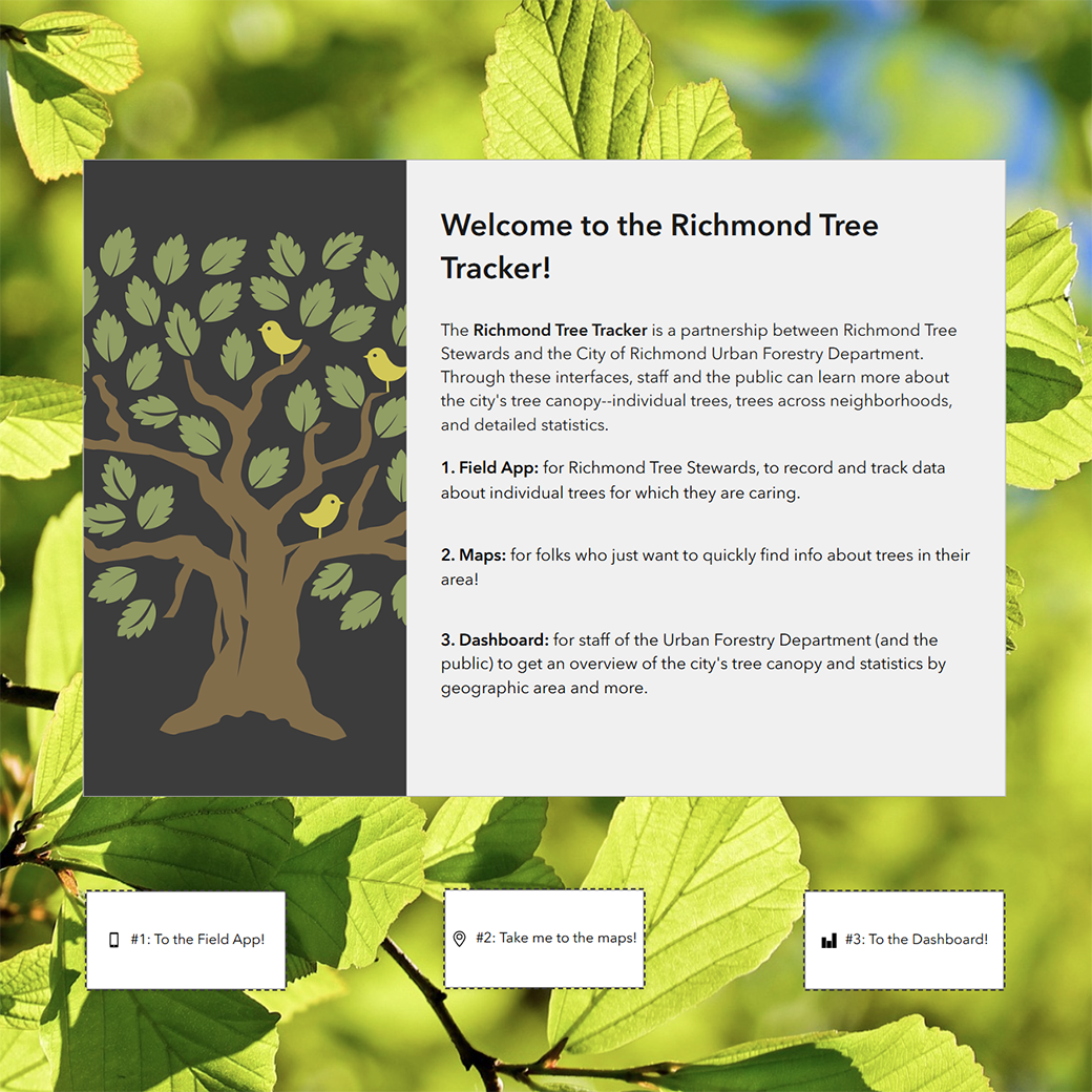
An integrated suite of Esri tools for three audiences: 1. a mobile app for volunteer tree stewards to create and edit data about specific trees in the field, 2. a pair of overview maps (2D and 3D) so the public can explore trees in their neighborhoods, and 3. a dashboard so city employees and the public can get overviews of the trees of the city through data visualization.
Tools Used: ArcGIS Online, Experience Builder, Map Viewer, Scene Viewer, Field Maps Designer, and Dashboards.
Images from full suite